SERVICES

DRONETEAM.lt is a dedicated team of drone professionals. If your task specification involves engineering, drones or cinematography – we can do it! We offer full-stack 3D scanning services for asset managers, architects and real estate developers. We see unlimited possibilities of combining the capabilities of autonomous flight machines and software development as well as taking the perfect aerial video shot. Remote controlled flights, autonomous flights, crop monitoring, photogrammetric 3D modelling from aerial photography and infrastructure inspection is just a tip of the iceberg. Have an idea where drones and software solutions could help to optimize your business? Contact us and we will help you achieve it!
Smart Cities

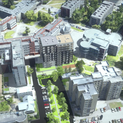
Smart Cities

Large scale, combining hybrid aerial and ground level data to create HQ photogrammetry models

Real Estate

Real Estate

Solutions dedicated for architects, contruction sites, visual modeling. Photogrammetry models are so precise you will not distinguish it from a photo

Cultural Heritage

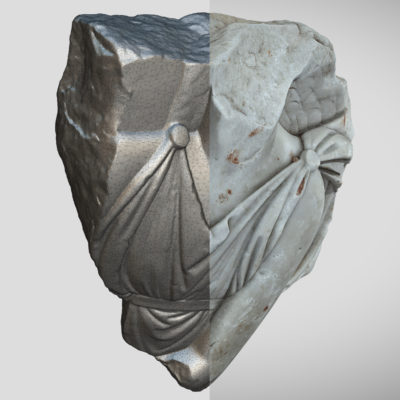
Cultural Heritage

With sub milimeter-precision, creating museum exhibits, archelogical sites, cultural heritage buildings, from inside and outside using photogrammetry

Drone surveying

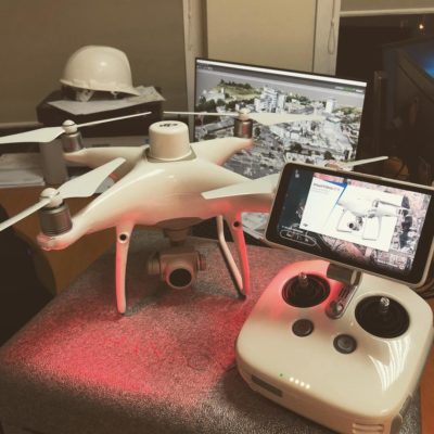
Drone surveying

Our precision is next level. We use precise RTK technology to measure and GCPs to validate

Custom drone services

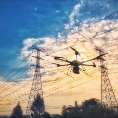
Custom drone services

Need something special? No worries - contact us and we will find drone related solution for You!

Drone delivery

Drone delivery

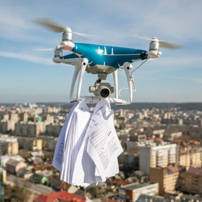
You order, we deliver. Start a novel delivery service or surprise your friend or lover with a gift from the skies

BLOG

Here you can find our latest blog post. For more, click here

Vilniaus miesto sankryžų stebėjimas

2020 metų spalio – lapkričio mėnesiais SĮ „Vilniaus Planas“ užsakymu vykdėme sankryžų Vilniaus mieste stebėjimą. SĮ „Vilniaus Planas“ analitikai siekė sužinoti 150-ies sankryžų eismo srautus rytinių ir vakarinių spūsčių metu. Projekto komandą sudarė septyni bepiločių Read more…

Fotogrametrija

Fotogrammetrija atsirado maždaug XIX amžiaus viduryje, beveik tuo pat metu kaip ir pati fotografija. Naudoti fotografijas topografiniams žemėlapiams kurti pirmą kartą pasiūlė prancūzų apžvalgininkas Dominique F. Arago maždaug 1840 m. Manoma, kad fotogrametrijos terminą sukūrė Read more…

Our Clients

We have many satisfied clients

Get in Touch

Interested in what we are doing? Have an idea you think we could help you with?

Give us a ring

Dr. Linas Gelažanskas
linas@droneteam.lt
+370 682 10215
Mon - Fri, 8:00-22:00

Contact Us